
02 — Enterprise
Enterprise & Industrial Solutions
Data-Driven Insights from Above.
We empower businesses with accurate, efficient, and safe aerial data collection that saves time, reduces costs, and improves safety.
Start a project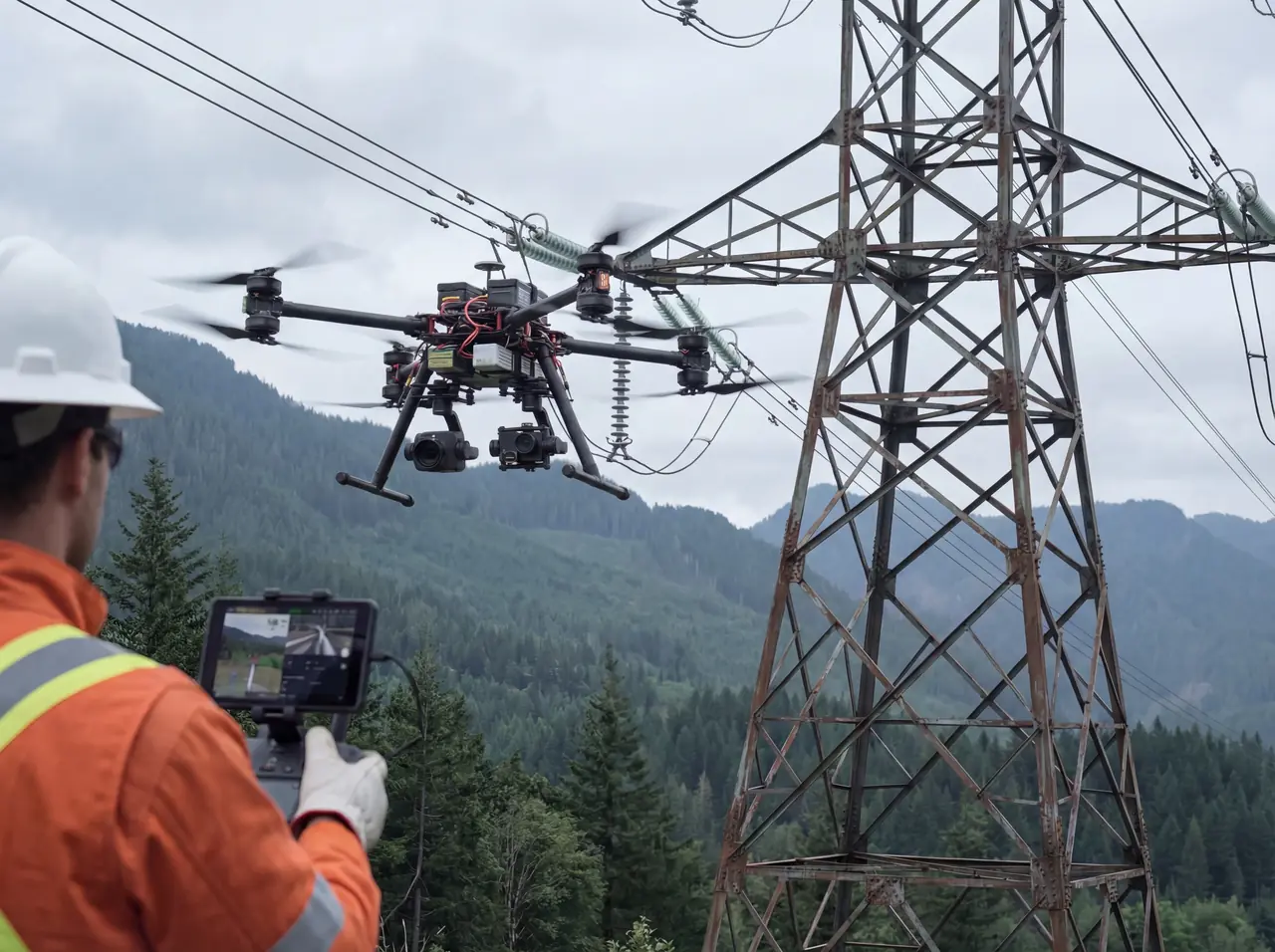
What we do
Capabilities
Mapping and Surveying
Generate high-resolution 2D maps and 3D models for land development, construction progress monitoring, and volumetric calculations with unparalleled accuracy.
Industrial Inspections
Safely inspect critical infrastructure like cell towers, power lines, bridges, and rooftops without risking personnel. Get detailed visual data to identify issues before they become problems.
Public Safety
Assisting first responders with critical situational awareness, search and rescue operations, accident scene reconstruction, and large-scale event monitoring.
How it works
From brief to delivery
Every engagement runs the same way, so you know what happens next at every stage.
-
1
Scope & site survey
We establish what you need measured, to what tolerance, and what the site permits.
-
2
Ground control
Control points placed and surveyed where the deliverable needs absolute accuracy.
-
3
Automated capture
Flight paths flown automatically for consistent overlap and repeatable results.
-
4
Processed deliverable
Orthomosaics, point clouds, 3D models or inspection reports in the format your team already uses.
Flown on our own technology
Because we own the firmware and the telemetry pipeline, repeat inspections fly the identical path months apart — which is what makes change detection meaningful instead of anecdotal.